Turkmenistan establishes cooperation with IGN FI in the Agricultural Sector
08.05.2025 | 23:40 |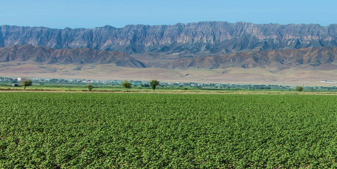
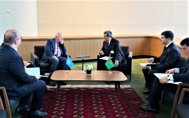
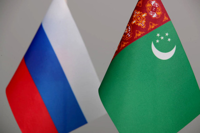
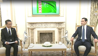
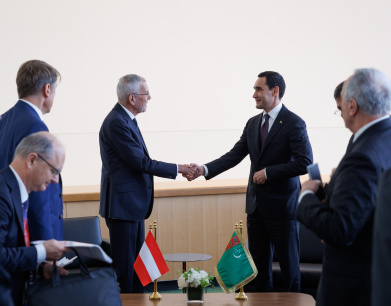
During the official visit of the National Leader of the Turkmen people, Chairman of the Halk Maslahaty of Turkmenistan Gurbanguly Berdimuhamedov, to the French Republic on May 5th, a package of bilateral documents was signed. This included a Memorandum of Understanding between the Ministry of Agriculture of Turkmenistan and the company IGN FI (France) on cooperation in the field of land cadastre and remote monitoring of agricultural crops.
IGN FI is a globally renowned company in the field of geographic information. Since its establishment in 1986, IGN FI has established itself as a leader in geomatics projects, working with leading policymakers in both governmental and private sectors. The company provides indispensable support tools for decision-making, particularly in the areas of land management, environmental protection, agriculture, land resource management, civil security, risk management, transportation, tourism, and more.
As noted on the company's website, IGN FI is part of the GEOFIT Group and the technical operator of IGN France for the implementation of its international projects. The company offers services tailored to the needs of clients in its areas of expertise: geodesy, metrology, cartography/national spatial data infrastructure, databases, geographic information systems (GIS), thematic portals, and land resource management information systems.
Its wide range of services also includes: updating national maps, metrological monitoring in risk zones, implementation of national geomatics plans, creation of disaster management centers, oversight of cadastral works, creation of environmental databases, border demarcation, and much more. In each of these areas, IGN FI mobilizes highly qualified experts to advise policymakers, provide assistance, and train end-users at all stages of a project, offering innovative solutions tailored to the needs of each client.
IGN FI is at the forefront of data collection and utilization and assists decision-makers worldwide in fully leveraging the potential of geographic information to support sustainable development. The company possesses state-of-the-art software and tools for the production and collection of cartographic and geospatial data. Operating in dozens of countries around the world, IGN FI helps its clients meet the requirements of their geomatics projects, with a particular focus on the transfer of skills and technologies for innovative solutions. The solutions offered by IGN FI are designed for long-term service and evolve according to needs.
ORIENT
Photo: orient.tm
Read also:
27.09.2025
|23:55


25.09.2025
|00:45