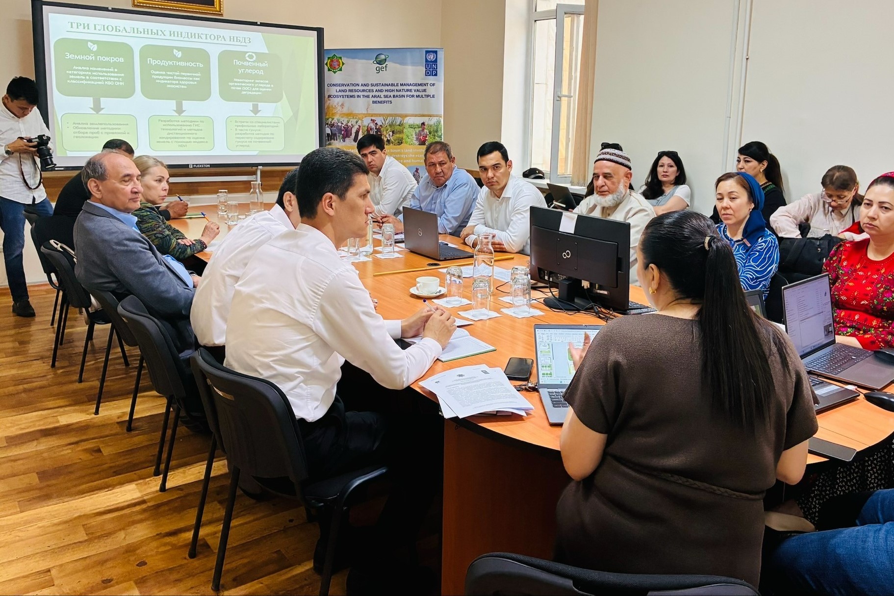
The Scientific and Information Center of the Interstate Commission on Sustainable Development (SIC ICSD), together with the UNDP-GEF project and relevant agencies of Turkmenistan, have begun integrating land degradation neutrality principles into national land use policy.
A key focus of this work, aligned with the State Program for the Development of the Digital Economy for 2026–2028, is the transition to modern GIS technologies and the use of satellite remote sensing data. The updated national monitoring system is based on the practical results of recent expert field expeditions to the Lebap and Dashoguz regions.
The data collected during the field trips made it possible to verify localized degradation hotspots in pastures, irrigated lands, and protected areas in accordance with the international standards of the UN Convention to Combat Desertification.
The information obtained will form the foundation for the creation of a unified digital database that will enable prompt management decisions and soil condition forecasting.
At the same time, Turkmenistan is preparing a new version of the National Action Program to Combat Desertification and is developing an initiative to establish a specialized Regional Center for Central Asian countries, which will cement Ashgabat's status as a key expert platform for environmental security in the region.


